PROJECTS
EELGRASS MAPPING AND PROTECTION
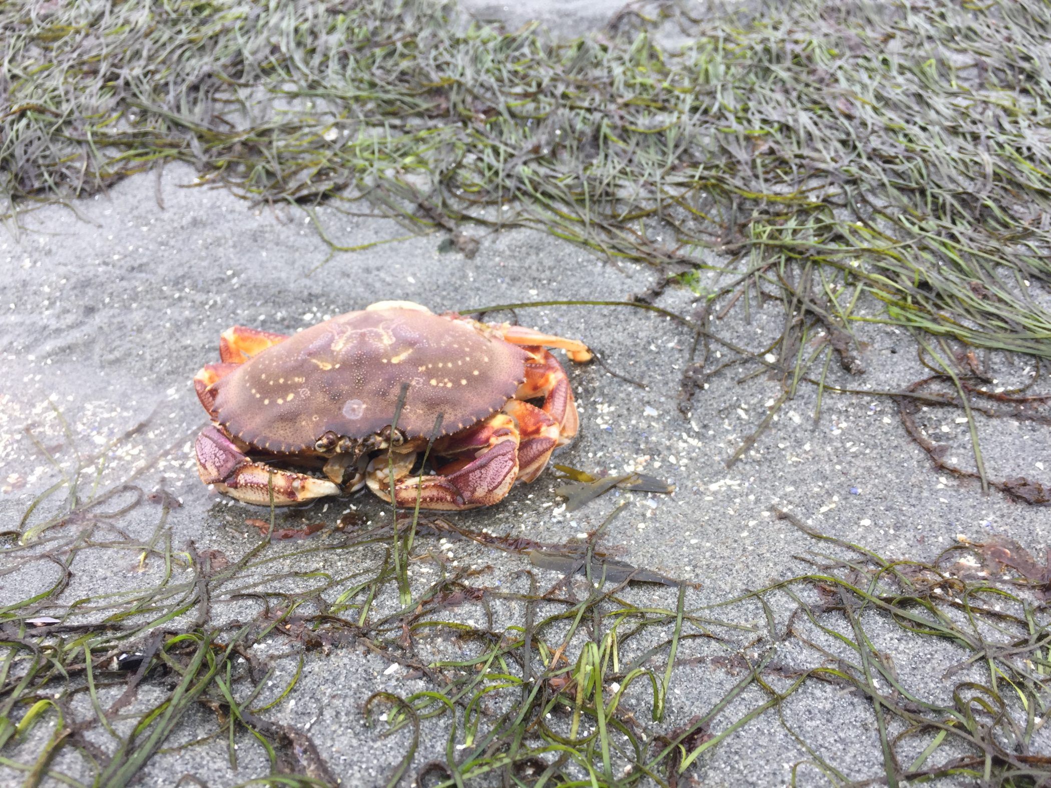
We are partnering with SeaChange Marine Conservation Society and with the Pacific Salmon Foundation's Strait of Georgia Data Centre to map out our eelgrass beds around the island.
Estuaries and nearshore vegetation like eelgrass meadows and tracts of bull kelp are some of the most productive and sensitive habitats, and they provide shelter and food to numerous species including Coho and Chinook salmon and forage fish such as sandlance and herring.
By mapping extent, and the changes in eelgrass habitats, we can assist in larger scale mapping and research efforts to understand anthropogenic impacts on these habitats; and ways to protect them.
See the Maps page at the Strait of Georgia Data Centre
MAPPING FORAGE FISH SPAWNING HABITAT
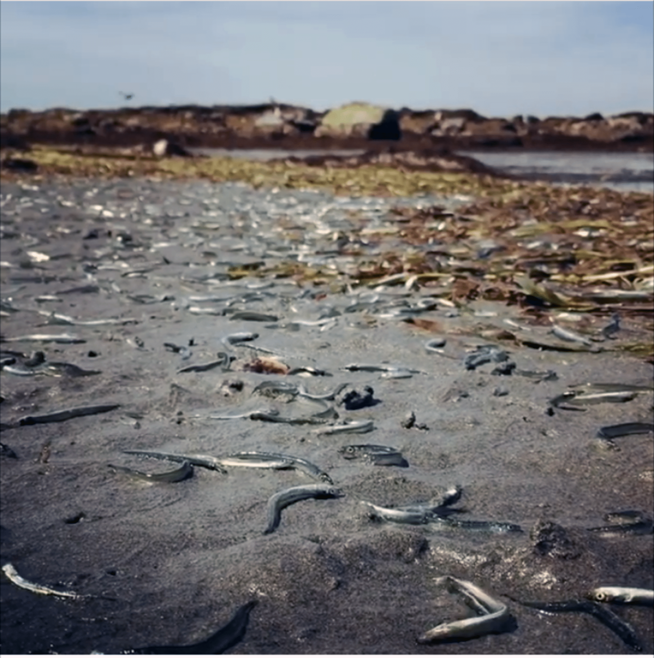
In the past, there have been some unusual events on Gabriola beaches- the photo above shows a large stranding event of sand lance, which is an important forage fish for Pacific Salmon. We are not sure why this occurred- but perhaps adults spawning became stranded when a particularly large tide occurred and they were left on the beach.
Many of our local beaches have characteristics and sediment size that is appropriate for spawning forage fish such as sand lance and surf smelt. To this end, we are carrying out a citizen science embryo sampling program in collaboration with the Mount Arrowsmith Biosphere Region Research Institute at VIU, as well as with WWF and the Strait of Georgia Data Centre. Volunteers head to most of our beaches once a month to collect sediment samples, which are sent to VIU for analysis to see if they contain eggs of surf smelt or sand lance. We have had some positive beaches, including Twin Beaches and Sandwell and El Verano.
These data are provided to the Strait of Georgia Data Centre, where they are added to an interactive map, where users can easily see which beaches have been confirmed as forage fish habitat. Using these informational resources, WWF-Canada is collaborating with stakeholders and partners to advocate for better provincial coastal strategies and law reform, and thus this mapping can support decisions surrounding restoration and protection of these vital ecosystems.
PSF has created a story map about these data and their value, and this is highlighted here.
EDUCATION AND OUTREACH
Community Outreach
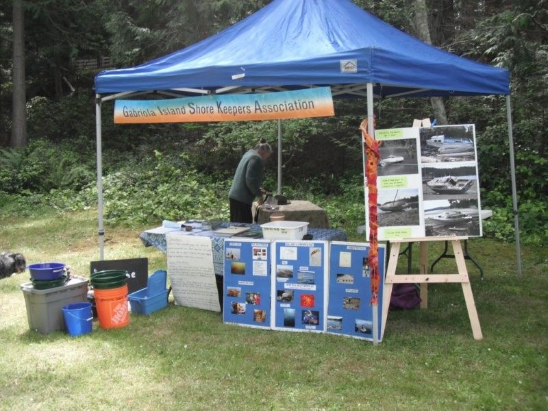
GISKA provides information through their Facebook page, the Blog on this website, and we also attend many local community events to disseminate information and recruit new volunteers! Above is a photo of our information stand at the annual Ocean's Day event that occurs at Descanso Bay Regional Park.
Education
See our Education page for links to presentations and other informative content!
We are always looking for new members, please contact us if you are interested in joining our group!
BEACH CLEANUPS
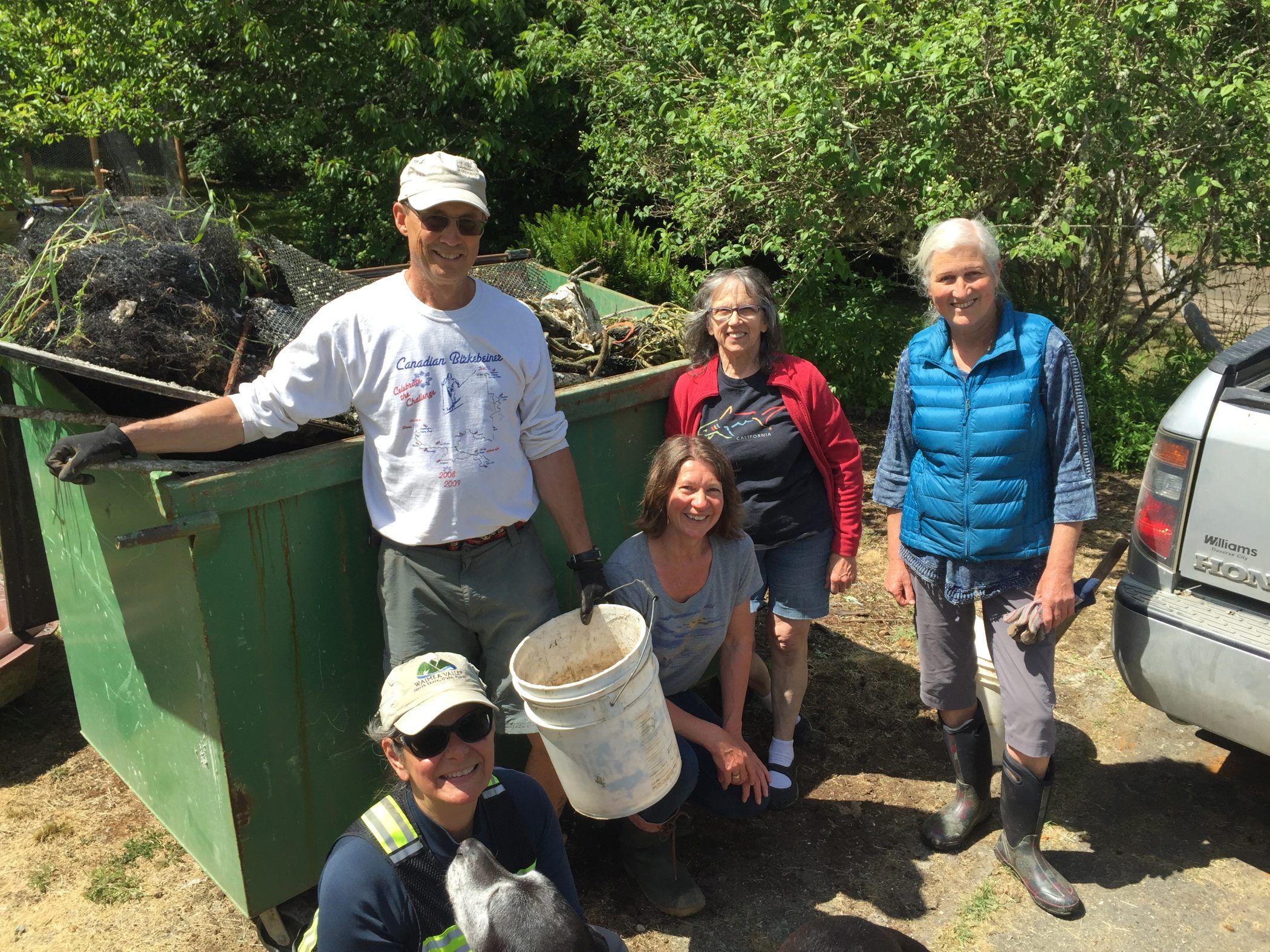
GISKA is working with the Gabriola community to clean to clean up our beautiful beaches! We are also partnering with other groups such as Rugged Coast to assist with funding and equipment to remove larger items.
We have been working to inventory debris on our beaches, which may include large bits of styrofoam docks, which slough off small pieces of styrofoam, leading to ecosystem impacts to marine birds and other species that mistake these items for food. We also remove plastics, metal, and other garbage from our shores. If you see any items of concern or wish to join our beach clean up days- please get in touch!
Click on the image below to play a video by Paula Pappajohn, showing a large piece of dock that washed up on the beach at the end of Decourcy Drive. Thanks to local residents, GaLLT and GISKA members for working together to remove this!
Here is a link to an article in the Gabriola Sounder about the beach clean up!
Please Check Our Blog & Our Facebook Site for Details on upcoming Beach Clean up Dates!

REMOVAL OF CREOSOTE PILINGS
GISKA is working with SeaChange Marine Conservation Society to effect removal of toxic creosote logs from our beaches and marinas. If you see a washed up creosote log on any beaches, please contact us to let us know.
MARINE DEBRIS CLEAN UP
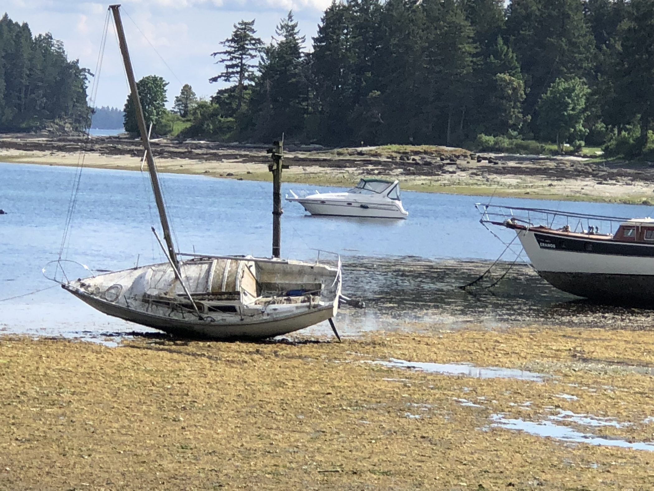
GISKA has been carrying out kayak, drone and surveys from land to identify abandoned boats. These boats are not only an eyesore- but also an environmental risk and are a hazard to navigation. Working with John Roe of the Dead Boat Disposal Society, we are working to get these boats out of our local waters.
In 2019, a new bill, Bill C-64 – the Wrecked, Abandoned, or Hazardous Vessels Act came into play. This bill gives the Nairobi International Convention on the Removal of Wrecks, 2007 force of law in Canada and extends it to all Canadian waters. This means that owners of these vessels are obligated to report, locate, mark and remove wrecks and are liable for hazardous wrecks resulting from maritime casualties. Owners of large vessels (300 gross tons or larger) are required to maintain insurance or other financial security to cover the costs of wreck removal, should the wreck pose a hazard.
The bill prohibits vessel owners and operators to:
-Abandon their unwanted vessel.
-Cause their vessel to become a wreck because they fail to maintain it.
-Sink, strand or ground their vessel on purpose.
-Without being authorized, leave their vessel in poor condition in the same area (within a radius of three nautical miles) for more than 60 days.
-Leave their vessel adrift for more than 48 hours without taking measures to secure it.
-Empowering the federal government
The bill empowers the federal Government to take proactive measures to prevent, mitigate or eliminate hazards posed by vessels or wrecks including directing and holding the owner to account.
Learn more about the Wrecked, Abandoned or Hazardous Vessels Act, including how to report a problem vessel.
Funding is available through the federal Abandoned Boats Program for assessment and removal of problem vessels until at least March 2022.
See this link for the great work that John and his team carry out to remove abandoned boats!

